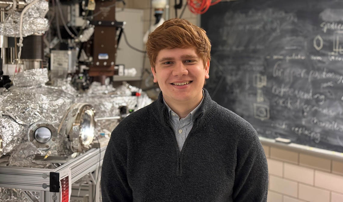
Tugce Baser, professor in Engineering, is leading a team of researchers that was just awarded $7.5 million from the Department of Defense’s Multidisciplinary University Research Initiative.
MURI is an effort by the DoD to fund teams of researchers investigating “high-priority topics and opportunities that intersect more than one traditional technical discipline.” This year, they awarded $221 million to 30 different research groups at 73 institutions in the United States.
The team’s project — known as I’M SHARP, or the Interdisciplinary Material Science for the Hyperspectral Remote Sensing of Permafrost — aims to study the physical properties of permafrost, or land that has been frozen for two consecutive years. The oldest permafrost on our planet is nearly 700,000 years old.
Baser’s primary field is geotechnical engineering, a sub-discipline of civil engineering, but her team is made up of scientists from a broad range of backgrounds, including quantum physics, electrical engineering, materials science, geoscience and remote sensing.
Geotechnical engineering is the study of the behavior of Earth’s materials, such as soil, rock and groundwater, and it seeks to understand how these materials change when subjected to various conditions. Geotechnical engineers contribute their expertise to the design, analysis and construction of various structures, such as foundations, retaining walls, embankments, tunnels and slopes, among others.
Get The Daily Illini in your inbox!
Baser’s primary research focus is multi-physical interactions in soil and rock, and the interdependence of their mechanical, hydraulic and thermal properties.
“It may sound a little bit complicated at first, but what we really care about is the fundamental physical mechanisms that occur within Earth’s materials,” Baser said. “We want to know how these properties change when exposed to external loads.”
Baser refers to two types of external loads: man-made and natural. “Man-made loads cause mechanical deformation and natural loads like climate change – extreme temperatures and extreme drought (or) rainfall can cause physical changes in the ground,” she said.
The team is primarily concerned with these changes in the Arctic Circle, a particularly susceptible region to climate change’s negative effects.
“The Arctic Circle has a lot of permafrost, and as global temperatures increase due to greenhouse gas emissions and the stability of these landscapes are threatened, the landscapes are likely to exhibit dramatic changes,” Baser said.
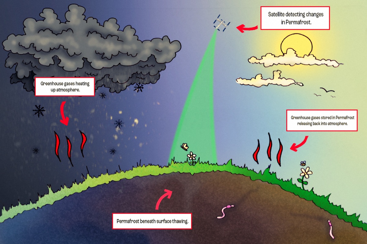
A prominent example of these changes is gas emission craters. These are massive holes in the earth formed by an overheated buildup of methane beneath a layer of permafrost. The climate becoming warmer weakens the permafrost enough to allow the methane buildup to explode, and the massive methane release itself hastens the effects of global warming.
“These changes in the permafrost’s physical properties can have extremely adverse effects,” Baser said. “They not only alter the landscape, but they can severely interfere with infrastructure that is built above the permafrost layers. This is especially significant in the Arctic Circle, where this infrastructure is crucial to deliver energy to those regions.
If the temperatures become too high, the permafrost can thaw, which further exacerbates the issue.
“These permafrost areas contain large amounts of organic biomaterials — i.e. carbon from decomposed organisms,” Baser said. “As the permafrost thaws, this carbon is released into the atmosphere as a greenhouse gas, which continues to deplete our ozone layer.”
The team plans to use groundbreaking technology to detect changes in permafrost.
“We will use hyperspectral remote sensing, which uses satellites to take high-resolution images of permafrost,” Baser said. “We will combine this with laboratory experiments and on-site field-guided experiments to understand how permafrost’s properties change.”
Hyperspectral remote sensing is an imaging technology that can detect the electromagnetic properties of individual pixels in an image, providing extremely high resolution and precise measurements of physical phenomena.
Baser discussed the team’s long-term goals and the impact their work will have on not only the field of climate science but the world as a whole.
“I feel the impact of this research is far beyond our understanding of the topic right now,” Baser said. “There’s obviously a direct scientific impact, but we seek a broader impact that helps society.”
Hyperspectral remote imaging can provide much more accurate data regarding changes in landscape. “This is also very important for analyzing large-scale problems, like natural disasters,” Baser said.
Baser used satellite imagery to assess the scale of destruction in Turkey, her home country, and Syria after a devastating earthquake that took place in February 2023.
Baser and her team’s research has the potential to greatly increase our understanding of climate change’s effects on Earth’s most vulnerable landscapes.
“The whole team is very eager to begin working on this project,” Baser said. “We strongly believe we are delving into untouched territory, and we are fairly certain that this will open new doors in the scientific community and beyond.”


