


Experts say snow will continue through the day
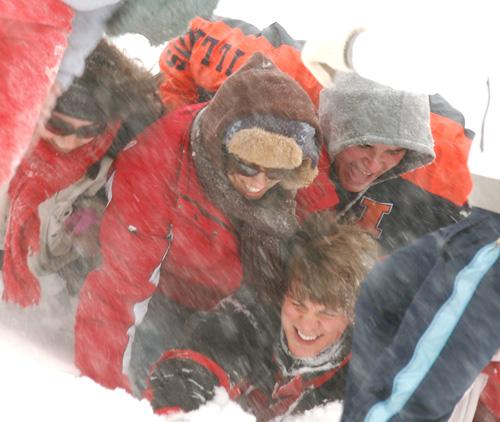
Students from Newman Hall play on the quad since classes were canceled due to large amounts of snow Tuesday afternoon, February 13th 2007. Joseph Lamberson
February 13, 2007
They say if you do not like the weather in the Midwest, just wait 15 minutes. Those awaiting the end of the blizzard that has halted activity on the University of Illinois campus will have to be a bit more patient. The heavy snow is predicted to fall all day, tappering off around 8:00 p.m. tonight, according to Meteorologist Mike Hardiman of the National Weather Service.
Hardiman said the heaviest band of snow moving across central Ill. is just west of Champaign County as of approximately 1 p.m., and should be expected to move across the local area in the next hour or two.
The National Weather Service’s latest reports said that as of 9:50 a.m., Champaign County had received between 8 and 10 inches of snow and climbing. Hardiman predicted 10 to 12 more inches of accumulation to fall throughout the day.
A large low pressure system with a lot of moisture is responsible for the blizzard, according to State Climatologist James Angel.
“Snow fall-wise it has been pretty quiet this year, but if looks like we’re going to make up for it,” Angel said.
Get The Daily Illini in your inbox!
Champaign received half an inch of snow in December, and 3 1/2 inches in January, Angel said, consistent with the moderate weather that state has experienced in the last couple of years.
The last blizzard similar to today’s was recorded on Jan 1 and 2 in 1999, when 15 inches of snow fell in Champaign, Angel said.
After the storm, Hardiman predicts strong blowing and drifiting winds to begin tonight and last until midday tomorrow. While no snow is expected after today’s blizzard, he said temperatures will fall below zero by the end of the week.
A blizzard is defined by a minimum of 35 mph winds and visiblity being reduced to a quarter-mile or less for at least three hours. Winds in Champaign have reached 50 mph with limited visiblity. Hardiman said these conditions will be even more dangerous on backroads and in the country where visiblity could fall to zero percent.
People are advised to stay off the roads. If driving is necessary, Hardiman said to use “extreme caution”. He suggests motorists drive slowly, turn on lowbeam headlights so drivers can see each other, and to not “put too much faith” in four-wheel drive or sport utility vehicles.
Angel said people may be less prepared to handle the winter weather because storms of this magnitude have not been common since the ’70s and ’80s.
“We’ve gotten kind of spoiled,” Angel said.